-
×
 LG Flex 42" 4K HDR Smart OLED TV
- Estimated delivery:
on 24 August - 5 October, 2025
-
×
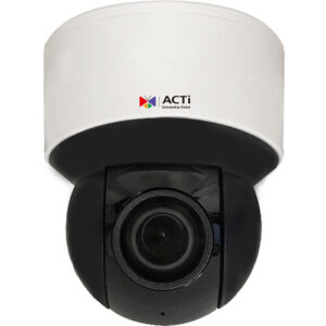 ACTi Z972 5MP Indoor Mini PTZ Network Dome Camera with Night Vision
- Estimated delivery:
on 24 August - 5 October, 2025
-
×
 GeoVision GV-TMS20811 5MP Outdoor Quad-Sensor Network Dome Camera
- Estimated delivery:
on 24 August - 5 October, 2025
-
×
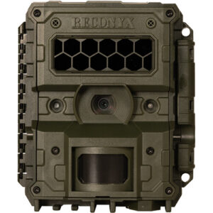 RECONYX HyperFire 4K License Plate Capture Surveillance Camera
- Estimated delivery:
on 24 August - 5 October, 2025
-
×
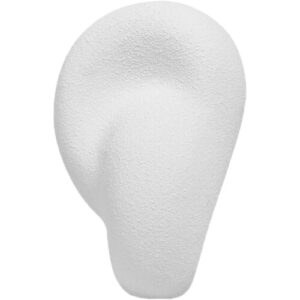 Transparent Acoustic Sculpture Active Wireless Speaker
- Estimated delivery:
on 24 August - 5 October, 2025
-
×
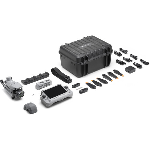
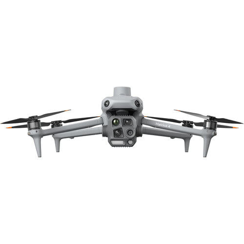
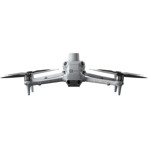
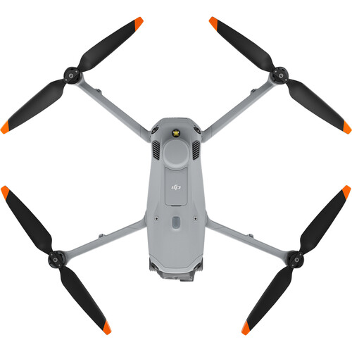
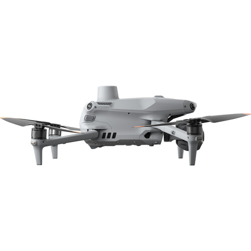
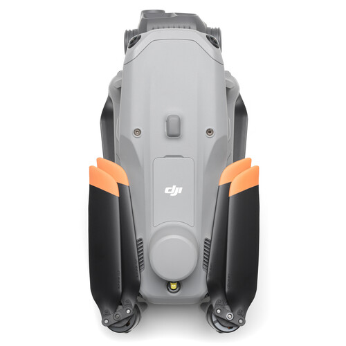
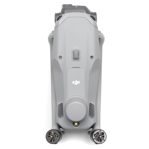
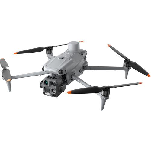
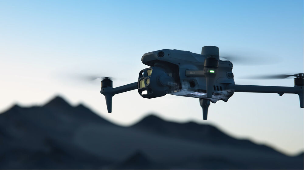
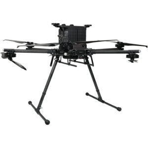
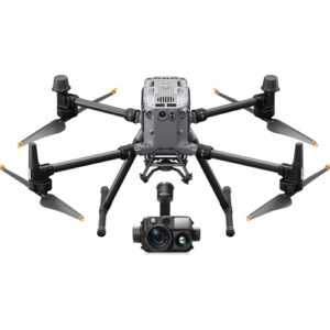
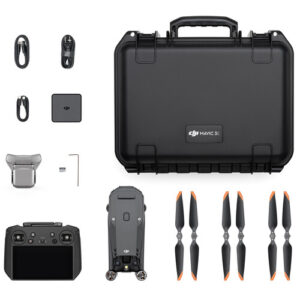
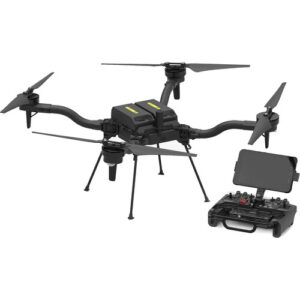
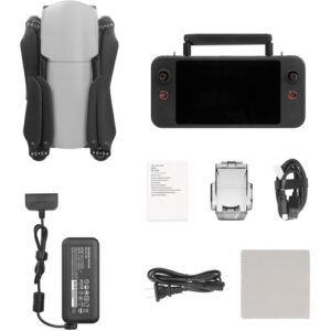 Autel Robotics EVO Lite 6K Enterprise Drone
- Estimated delivery:
on 24 August - 5 October, 2025
Subtotal: $7,488.69


There are no reviews yet.